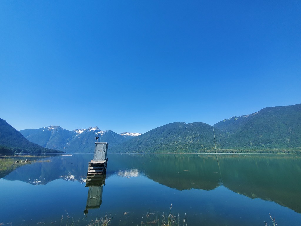
NOTE: This description was written in 2021, but before major floods impacted the region later that year.
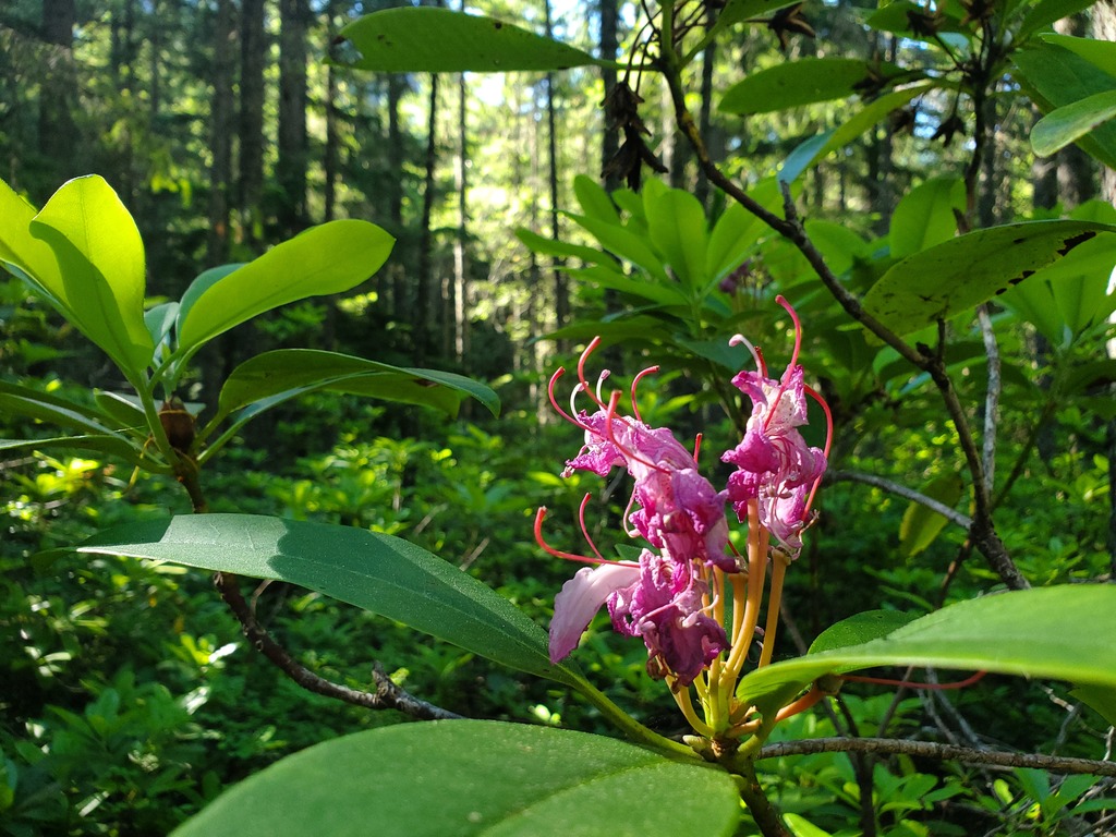
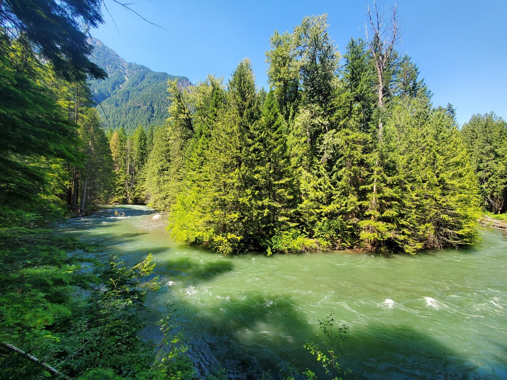
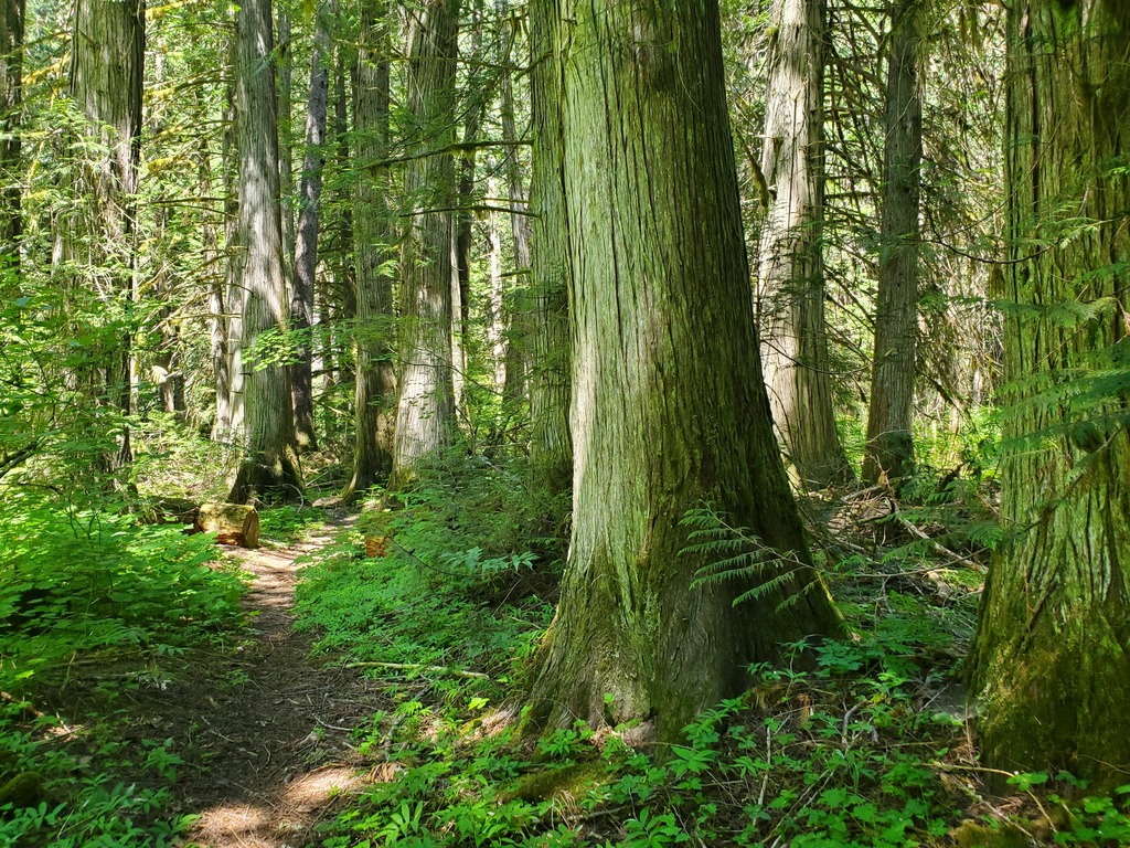
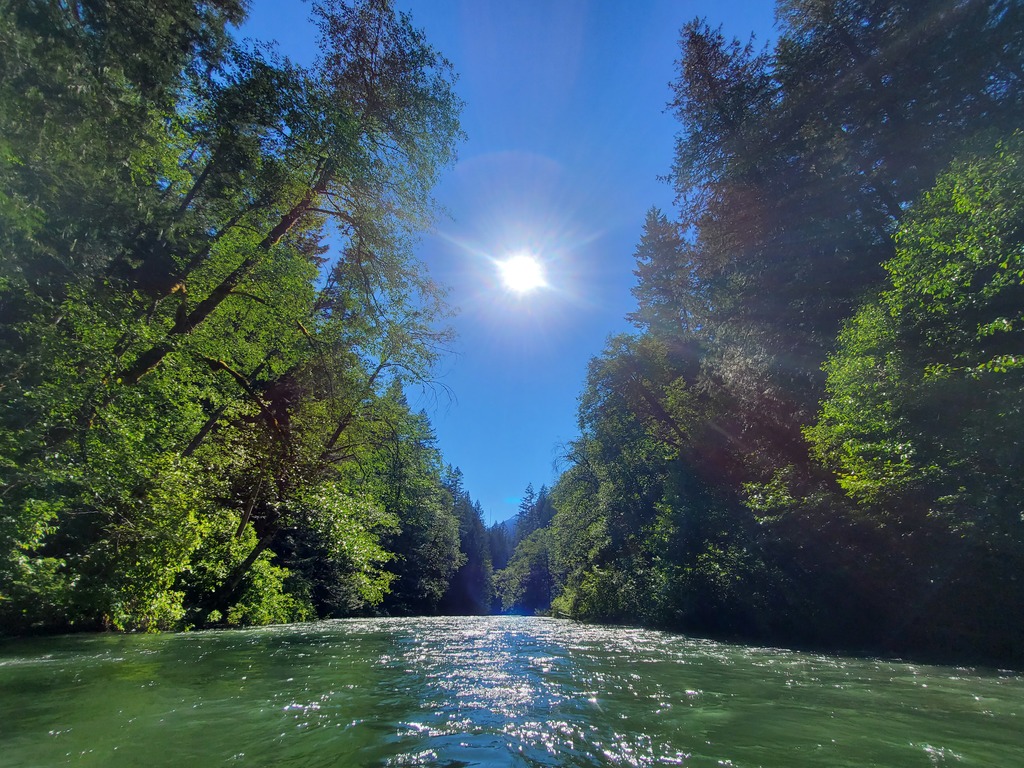
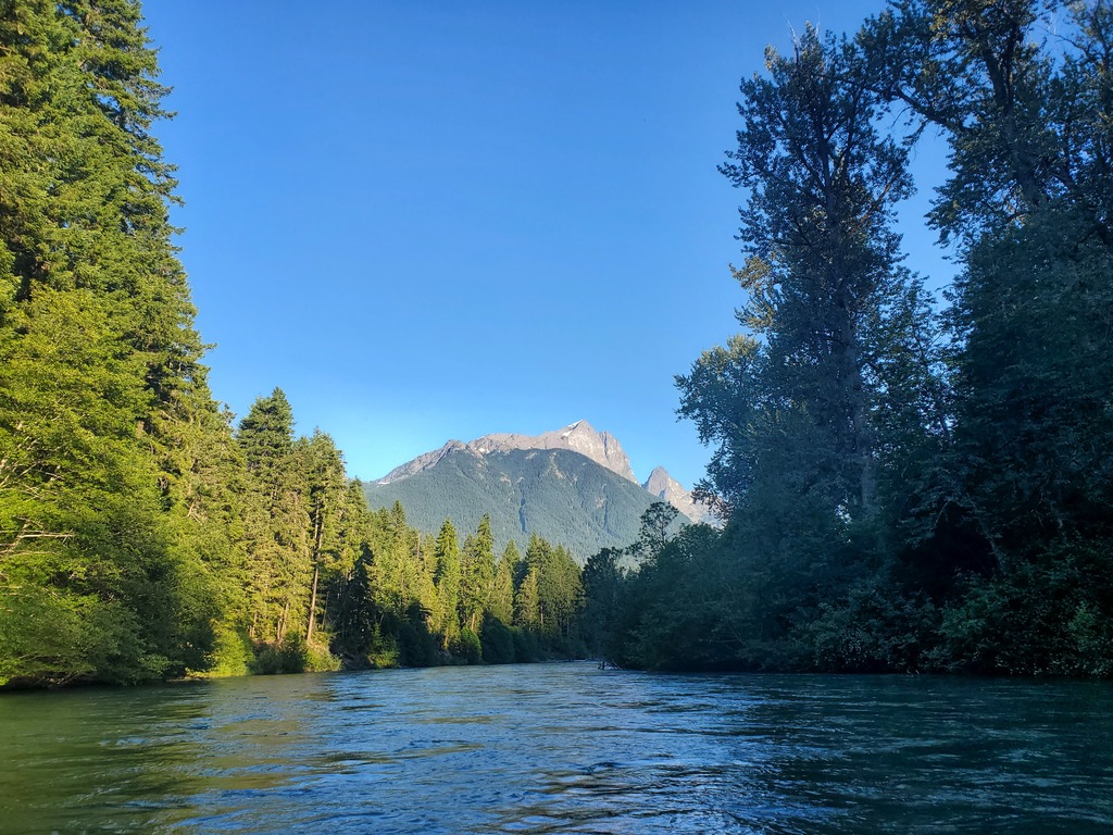
In a hidden corner of southwest BC, the Skagit River flows almost entirely through provincial parks before emptying into Ross Lake (reservoir) at the US border. The roadless section below Highway 3 offers scenic floating through old growth forests, of course with a healthy serving of logjams. It's worth doing once. During the long shuttle you will drive past Silverhope Creek (IV/V) and Coquihalla Canyon (IV), both of which will probably be flowing at the same time of year.
Occupying a transition zone between the coast and the interior, the Skagit will have a late spring snowmelt season in May-June similar to the Similkameen. Winter rainfall events may be possible. A flow of 40cms on the Skagit River above Klesilkwa River gauge is a medium high flow, with some effort required to stop above riverwide wood. The section is probably runnable lower, maybe down to 15cms as it is a quite open riverbed.
One challenge with this section is the long shuttle. To get to the takeout, drive from Hope ~42km up the Silver Skagit Road, or a further ~20km if you are taking out at Ross Lake. To get to the put in, drive back to Hope, and then ~34km east on Highway 3 to Sumallo Grove. Yes, the shuttle is ~80km each way for a ~12km section. There is a riverside trail if you can figure out a way to utilize that somehow.
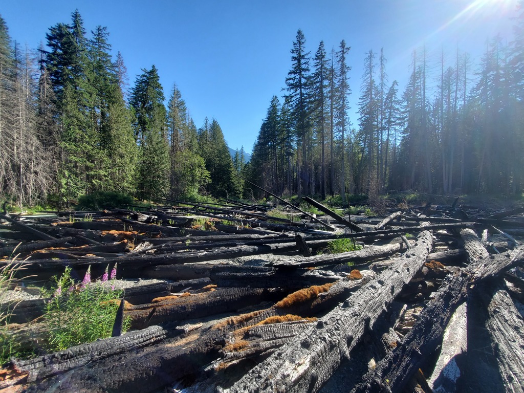
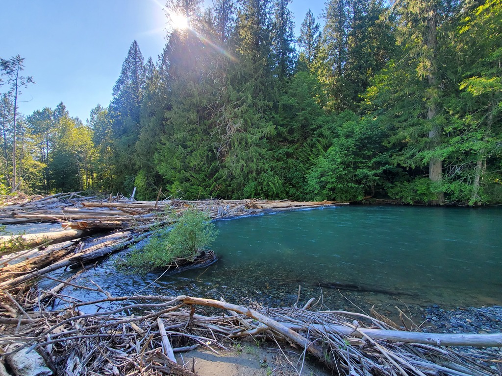
At Sumallo Grove, put in on either the Skagit or Sumallo Rivers, which join just downstream. Almost immediately riverwide wood is a hazard, and expect to get out and portage through the bush several times on this run. After about 3km of class II, the river will steepen noticeably into a ~1km section of read and run class III ending at Delacy Camp. Below here it is more class II and logjams to the first takeout at 26 Mile Bridge on the Silver Skagit road. You can continue downstream from here, on relatively wood-free class I to Strawberry Bar; in fact, this may be the best section to experience the forest from your boat instead of carrying your boat through the forest. Below Strawberry Bar, expect at least one more heinous log jam before reaching Ross Lake, unless it is too low to have any water on the Canadian side.
In a hidden corner of southwest BC, the Skagit River flows almost entirely through provincial parks before emptying into Ross Lake (reservoir) at the US border. The roadless section below Highway 3 offers scenic floating through old growth forests, of course with a healthy serving of logjams. It's worth doing once. During the long shuttle you will drive past Silverhope Creek (IV/V) and Coquihalla Canyon (IV), both of which will probably be flowing at the same time of year.
Occupying a transition zone between the coast and the interior, the Skagit will have a late spring snowmelt season in May-June similar to the Similkameen. Winter rainfall events may be possible. A flow of 40cms on the Skagit River above Klesilkwa River gauge is a medium high flow, with some effort required to stop above riverwide wood. The section is probably runnable lower, maybe down to 15cms as it is a quite open riverbed.
One challenge with this section is the long shuttle. To get to the takeout, drive from Hope ~42km up the Silver Skagit Road, or a further ~20km if you are taking out at Ross Lake. To get to the put in, drive back to Hope, and then ~34km east on Highway 3 to Sumallo Grove. Yes, the shuttle is ~80km each way for a ~12km section. There is a riverside trail if you can figure out a way to utilize that somehow.
At Sumallo Grove, put in on either the Skagit or Sumallo Rivers, which join just downstream. Almost immediately riverwide wood is a hazard, and expect to get out and portage through the bush several times on this run. After about 3km of class II, the river will steepen noticeably into a ~1km section of read and run class III ending at Delacy Camp. Below here it is more class II and logjams to the first takeout at 26 Mile Bridge on the Silver Skagit road. You can continue downstream from here, on relatively wood-free class I to Strawberry Bar; in fact, this may be the best section to experience the forest from your boat instead of carrying your boat through the forest. Below Strawberry Bar, expect at least one more heinous log jam before reaching Ross Lake, unless it is too low to have any water on the Canadian side.