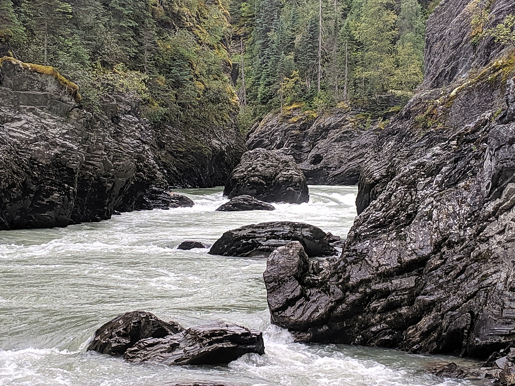
A really nice 5km (ish) canyon located northeast of Prince George. Great character to the whitewater.
Class
IV+-V
Scouting / Portaging
Most things can be scouted fairly easily at river level with a combination of boat scouting and hoping out in a few places. One portage around a logjam (in fall of 2020). The longest rapid would require more work to fully scout, however, most of it can be seen (at a distance) from the river right bank.
Time
A full day, especially if you include the driving time.
The McGregor Canyon is a beautiful section of whitewater located a decent way off of the beaten path. With easy access to the put in, and presumed easy access to a takeout, (located a few km of flatwater downstream of where the 2 groups *known* to have done the run took out) the McGregor is well worth doing. *quite possibly someone has done run it that I don't know about*
Classic big water canyon style rapids, only 1 mandatory portage which is easy at river level, beautiful dark canyon walls, far enough out there to feel like a real adventure. This would make a great warm up run for anyone on their way north for some multi-days.
This canyon would never get too low to kayak and seems like it would still go with quite high water. ~225 cms felt like big water, however, despite being in a fairly tight canyon, it didn't look like anything would become unrunnable or unportageable with more water.
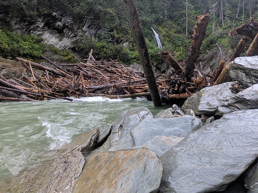
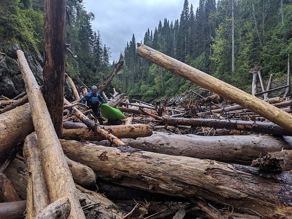
Logjam!
So much easier than going up into the woods!
Lawrence finishing off the portage
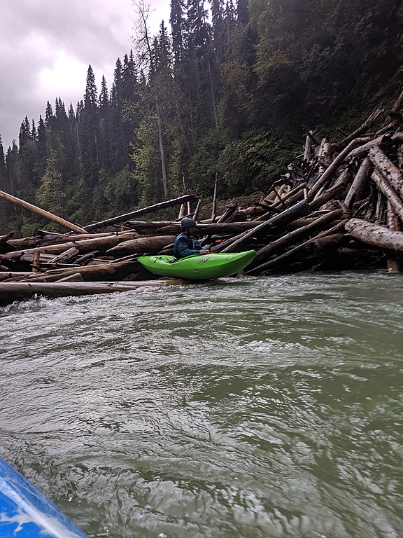
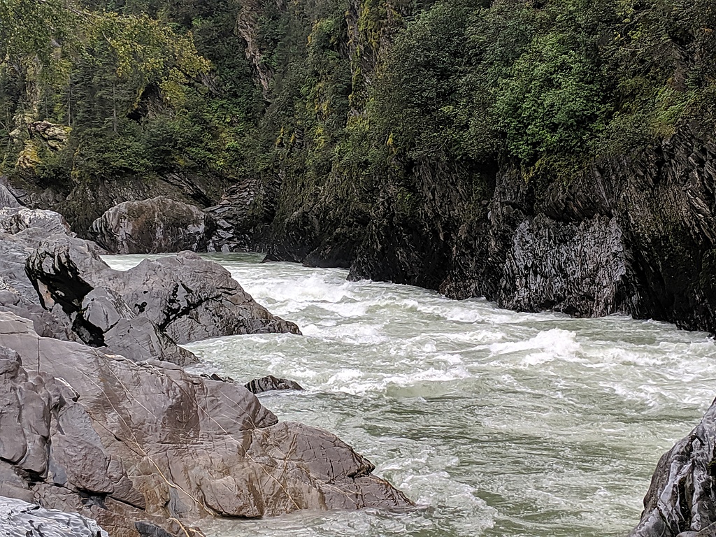
Classic McGregor Canyon
Some nice "in between" whitewater. There are a surprising amount of really nice surf waves on the run.
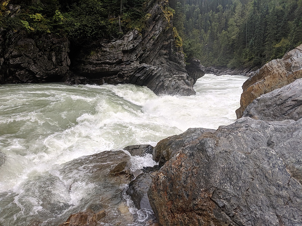
The Crux. River wide hole with a couple of options. The rapid immediately after this is the longest rapid of the run and would be fairly difficult to fully scout, however, a good look at most of it can be had from the scout for the crux.
McGregor Trivia and Tips Finding proper access points is the most important part of making this trip an enjoyable experience. The 1st decent in 2005 took out by hiking about 3 km on an overgrown logging road.15 years later the overgrown logging road was either alders, swamp or a delightful combination of the 2. Opt for the flatwater rather than the bushwack. Putting in at the bridge and taking out when the road on river left gets close to the river will add a good few kilometres of flatwater, but will be vastly better than the "B.C. Hellf***" encountered on the bushwack. (I have not actually driven up the river left takeout road, but the satellite images make it look passable by vehicle at least up to a point close to the river, although there might be washouts/deactivations blocking the last 3km of good road before the river)