A scenic full day paddle with optional class V drops
Class
II-III with optional V
Scouting / Portaging
The big drops can be scouted and portaged on river left.
Time
3-6 hours.
When to Go
October through June, consistent flow from a large lake.
Part of the Alice Lake zone in the far reaches of northern Vancouver Island, the Marble River should hold water well as it is buffered by a series of lakes. It's runnable almost year round, although moderate levels during winter or late spring are probably most enjoyable. The river is mostly a class II-III float with optional class V rapids, and finishes off in the estuary and a paddle across Rupert Inlet. Despite starting at the highway, this river does not get paddled much, so be prepared for an adventure. Other rivers in the zone are the Benson and Link Rivers.
Flows
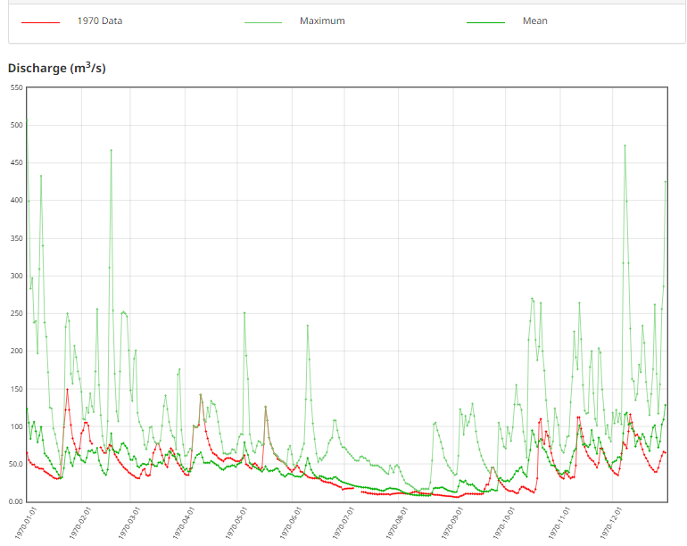
The Marble River has several large lakes which should regulate flow throughout the winter and spring, perhaps similar to the Cowichan River system. However, the class V drops on the Marble are going to be more runnable at low to medium levels in dry periods between rain events. During high water winter rains the class V rapids may get unreasonably high. The sweet spot to run all of the class V drops at a reasonable level might be in the late spring (May, June). The river is possibly runnable into the summer if you want to explore ELF boating like on the Cowichan. Recommended flows are between 20-50cms, on the Environment Canada gauge Marble River at outlet of Alice Lake.
MARBLE RIVER AT OUTLET OF ALICE LAKE (08HE001). Limited historical gauge data: from 1925-1930; 1931-1932; 1969-1970; 1971. Recommended flows are 20-50cms.
Shuttle
To get to the put in, take the north island highway past Port McNeill, turn west on Highway 30 (The Frigon Road) towards Port Alice and a bridge over the river at Marble River Provincial Park. The closest take out option is at the Varney log dump on Rupert Inlet, found by doubling back on the highway, turning left (north) onto the Port Hardy Main, and left again (west) onto the Varney Main. It's also possible to take out at Coal Harbour or the head of Rupert Inlet. Another option would be to paddle half the run to Bear Falls, then hike back to the put in on the river left trail.
On the water
The river alternates between class II sections and portageable class V drops. All of the big rapids can be scouted at portaged on river left, sometimes by going up and into the open forest. At winter flows, class III skills are recommended to catch eddies in swift water above class V drops. At low flows in the late spring or summer, the river is reported to have a more pool drop character and class II skills may be adequate.
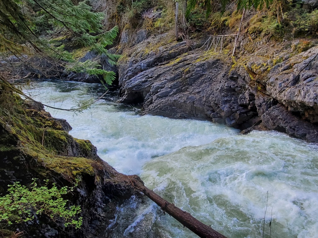
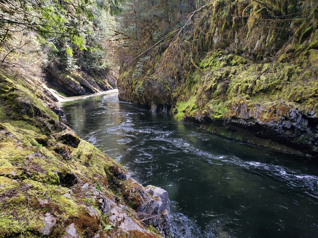
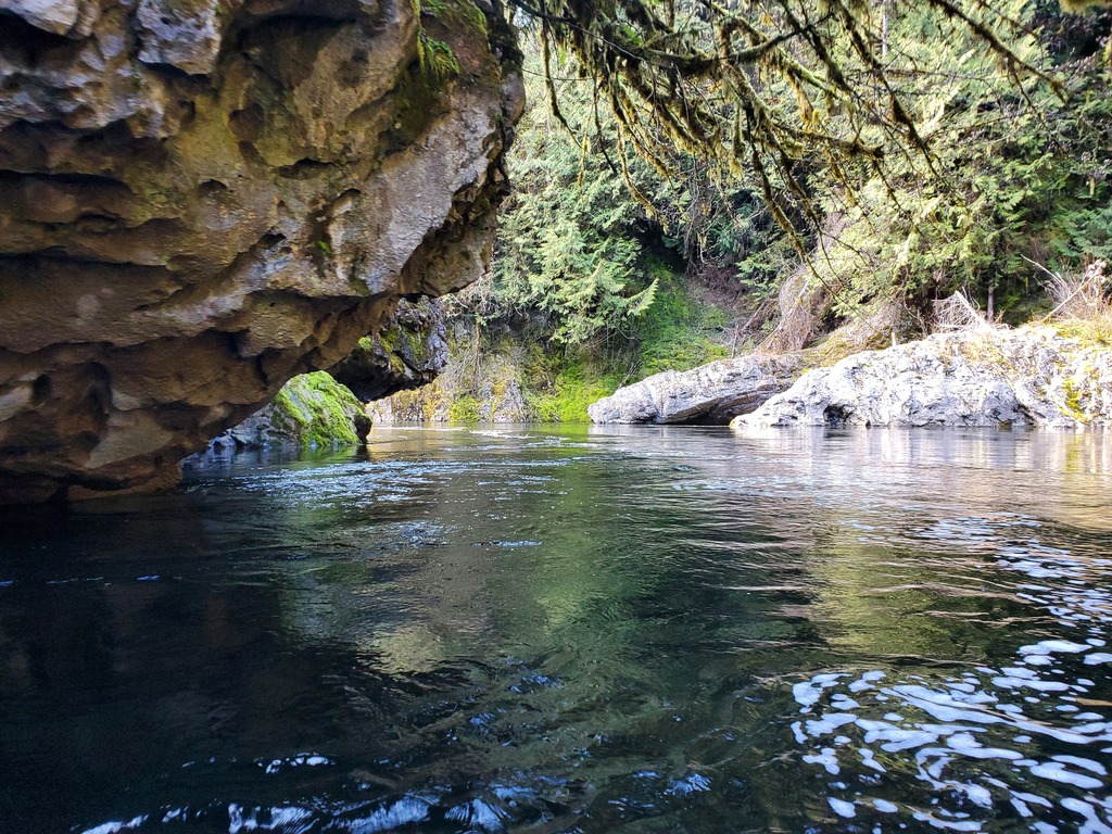
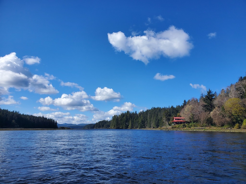
The first rapid visible from the highway, Lake Outlet Falls (V), is a technical slide with a few big holes. Most people will put on below, in the campground. After a section of class II, the first canyon appears. A lead in rapid flows right into a couple drops in the IV-V range. After a short open section, Bear Falls (V) is a riverwide 4m ledge, which is not very clean since it was blasted for fisheries purposes. After more class II, the second canyon starts abruptly at Twin Falls (V). At winter flows, this is a boxed in set of violent ledge holes. Presumably these get more runnable with less water. The rest of the second canyon is beautiful flatwater in a deep canyon, with a couple class II-III rapids with avoidable undercuts. After a long intertidal zone through the estuary, it is another 5-10km paddle across the inlet to whichever takeout you selected. Quatsino Narrows is nearby and has tidal exchanges up to 8 knots.
At high tide, it's possible to paddle flatwater upstream from the inlet into the scenic lower canyon.
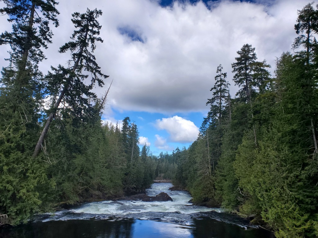
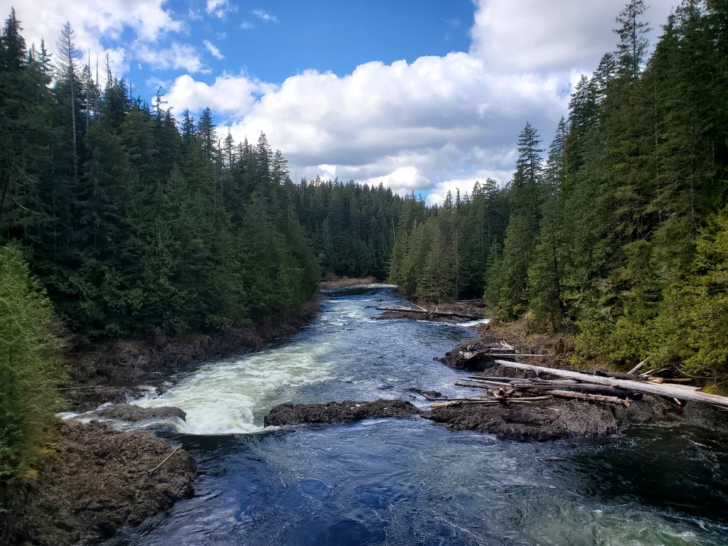
The view from Highway 30 down into Lake Outlet Falls.
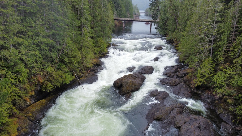
Aerial view looking back up at Lake Outlet Falls (V). This is an April flow, still on the high side of medium, while most rivers are on the north island were low.
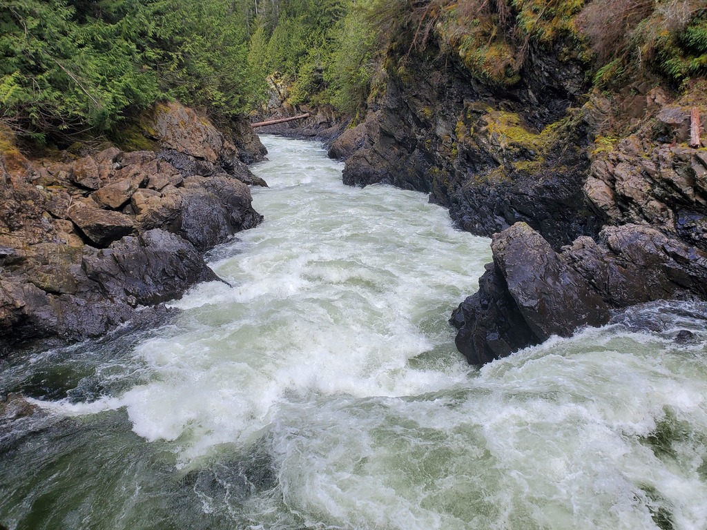
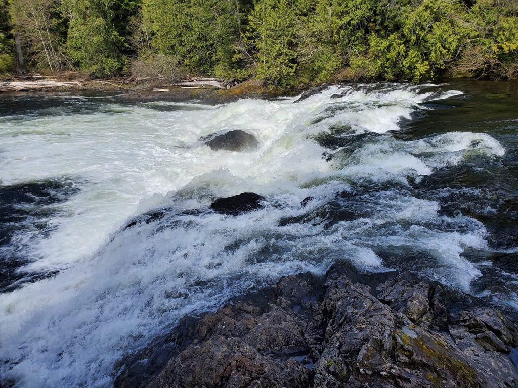
A stomping rapid in the first canyon at medium winter flows.
A slot drop as the first canyon opens up.
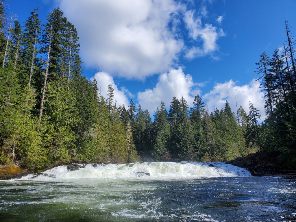
Bear Falls.
Another view of Bear Falls.
Twin Falls. This one sneaks up and looks dangerous at winter flows.
The second hole in Twin Falls.
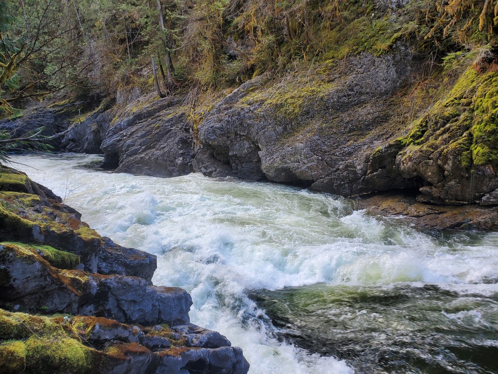
Putting back into the second canyon below Twin Falls.