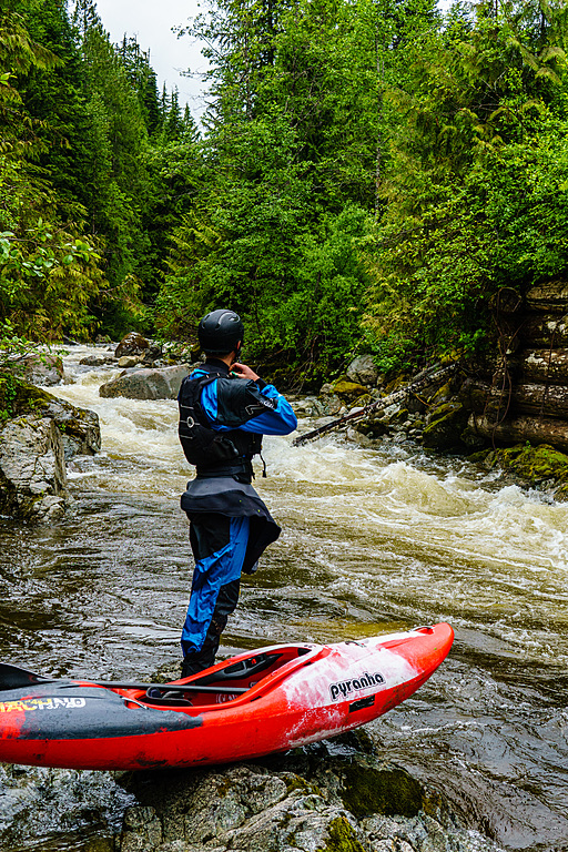
A fun and scenic class III+ stretch on the Upper Mamquam. The last two kilometres known as the Middle Mamquam is class IV, but please see the dam warning.
Class
III-IV
Scouting / Portaging
More or less roadside
Time
2-3 hours
When to Go
Early summer or after rainfall. The last 2km can be run year-round.
SAFETY ADVISORY UPDATE JULY 2025 - DAM OPEN JULY 24TH 2025 to September?
The take-out of this section either ends at the Bridge, or if continuing down please consider the next section closed currently and only for advanced paddlers in the future.
Please inspect the take-out before running this.
The head-pool of the dam can be opened at any time, in October 2023 a group paddled down this section, discovered the head-pool was gone and instead there was a continuous rapid into a deadly dam and waterfall. They managed to take out at the last second but it was a big surprise for them and it was only because they were familiar with the run that they realised something was different and were in danger.
Please inspect the take-out before paddling, S2SES have notified us the Dam will be open from July 24th 2025 for a few weeks and as such we cannot recommend anyone paddles below the bridge at this time
The Dam opens annually to drain silt and this will coincide with medium/high water, we are working on getting a notification system in place to know when this is happening. As well as this it could be open due to malfunction or emergency so consider this river to have a MUST-MAKE-TAKEOUT and make sure all paddlers are capable of making such eddies.
We have identified a new take-out further up-stream, from there you can just about see the dam sign but it's still not obvious, especially with late afternoon sun in your eyes.
This is looking downstream the head-pool with the dam open at Very Low Water.
In the above photo, the river is normally a big flat pool at this point, there is a sign on river left and a rope strung above the water level to indicate to not proceed any further downstream. At high water with the dam open taking out here is very tricky, take out further up-stream.
Same spot as above, but with the dam closed. (spot the yellow sign lower left in both pics)
This following photo is with the dam closed and the head-pool present. With significant flow even with the dam closed it's still dangerous as water will flow down river right over a spillway into an un-runnable waterfall. The yellow sign bottom left is the 'official take out' by a string over the river.
The Upper Mamquam is a classic III+ run near Squamish. It's best run at higher flows -- peak snowmelt or after rain.
To get to the river, drive up the Mamquam FSR from Highway 99. About 11m from the highway (after you cross Raffuse Creek and near a brand new -- 2020 -- clearcut), you'll see a gate on the left leading to the Upper Mamquam Hydro Project. This is the lowest takeout. 2km up from here, take a left over a bridge across the Mamquam. If you're looking to skip the class IV section, you can take out here. Continue on this road across Skookum Creek and stay right at all upcoming intersections. The final spur road (another 9km up from Skookum Creek) has some deep water bars, but it's a short walk to the put-in from there if your vehicle can't make it.
It is also possible to carry on further up on a recently improved road and add on another 5-10km of paddling, apparently further up-stream there is a good waterfall too. The last section before the usual put-on for this section is slightly tighter and should be considered class IV.
The put-in -- the remnants of an old bridge.
The river starts out small but gains flow after the Crawford Creek confluence. There are a few rapids right at the put-in, but it quickly flattens out for a handful of kilometres. The Mamquam goes through a short "canyon" section with a series of class III+ rapids before opening back up. Watch out for trees in the more open, mellow sections.
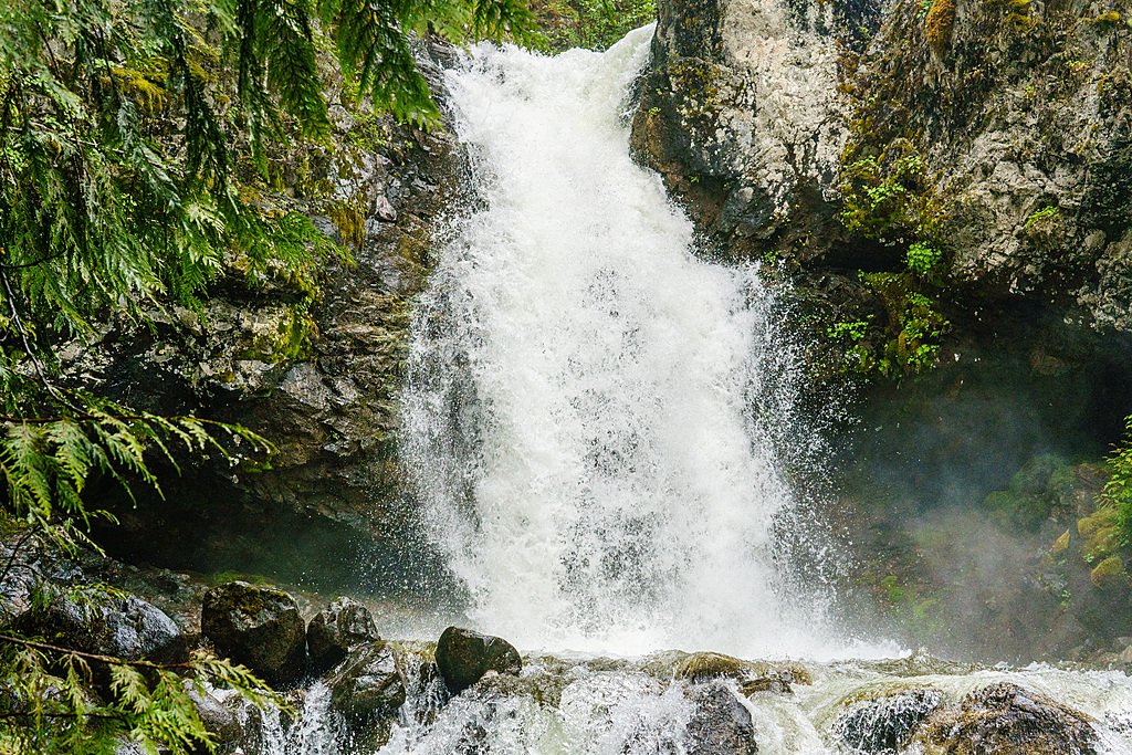
A beautiful waterfall on a tributary (river-right).
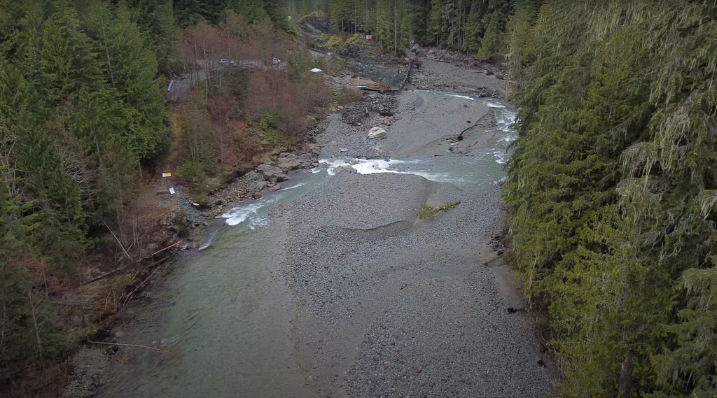
Eventually, you reach the Skookum Creek confluence and the river picks up a substantial amount of volume. From here down, the rapids build to class IV before all-too-quickly going flat above the takeout dam, take out well above the dam, there is a warning sign as a designated take-out but 100m there is some red flagging tape on river left around an old tree stump which is where route is flagged which will take you up to the road. Use caution as if the head pool is low or if the dam is open there isn't much of an eddy to use, inspect before paddling!
You can run this section from the bridge to dam at any water level; at low, late-summer flows, it's fun III+. When the normal Upper Mamquam is runnable, this section has a big water feel to it.
Flows
The Mamquam gauge is newly online so we have yet to establish a solid correlation. 45-55cms translates to a nice low or medium-low level (though note that this still has a big volume feel for the last two kilometres). The gauge is quite far downstream (near town), so the correlation may not be consistent.