A fun west coast canyon hidden at the end of the island.
Class
IV with one harder rapid
Scouting / Portaging
Reasonable until the canyon, then possible by roping boats
Time
4-5 hours
When to Go
October to April. Needs a good amount of rain.
Hidden way out there on Vancouver Island, the Mahatta River has a short quality canyon that would get paddled regularly if it wasn't at the end of the world. Although the area is heavily logged, the river corridor retains a wild west coast feel right down into the Pacific Ocean. The adventure experience is capped off by paddling back up Quatsino Sound to the takeout. To make it out to this remote area, you are either on a hardcore creeking mission, or on a trip to the nearby beaches.
Flows
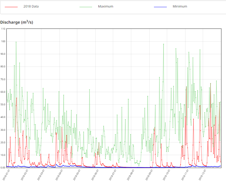
The Mahatta is a fairly low elevation watershed, and it is doubtful that there is any snowmelt season. A good west coast rain should get this going; for comparison, it is in a similar climatic zone as the Sarita River near Bamfield. There is no gauge on the Mahatta, but there is on the adjacent Klaskish River (KLASKISH RIVER NEAR KLASKINO INLET (08HE009)). A 20-30mm rain and the Klaskish gauge dropping off a 50cms spike resulted in a medium-high level on the Mahatta River. These rivers will flash up and down quickly.
KLASKISH RIVER NEAR KLASKINO INLET (08HE009), 2018 gauge data and maximum flows. You'll have to catch one of these rain spikes to run the Mahatta.
Shuttle
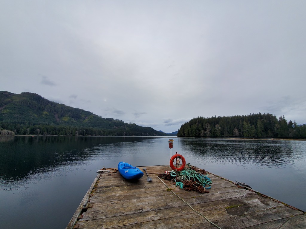
The downside is that this river is way out there, 1.5 hours on a rough road past Port Alice, which is 4.5 hours drive from the Nanaimo ferry terminal. The upside is that with the orientation of the river and the ocean paddle, you don't really need a shuttle car. To find the put in, use your map to follow Marine Drive south out of Port Alice (road radio recommended). The route will wrap around Neroutsos Inlet, climb up a pass in the Teeta Creek drainage (T500 road), and drop into the Mahatta area. There are put in options at the Mahatta River Recreation Site or a nearby FSR bridge. The takeout is a further 4km to the right (north) down the Mahatta FSR, at a logging landing on the ocean.
On the water
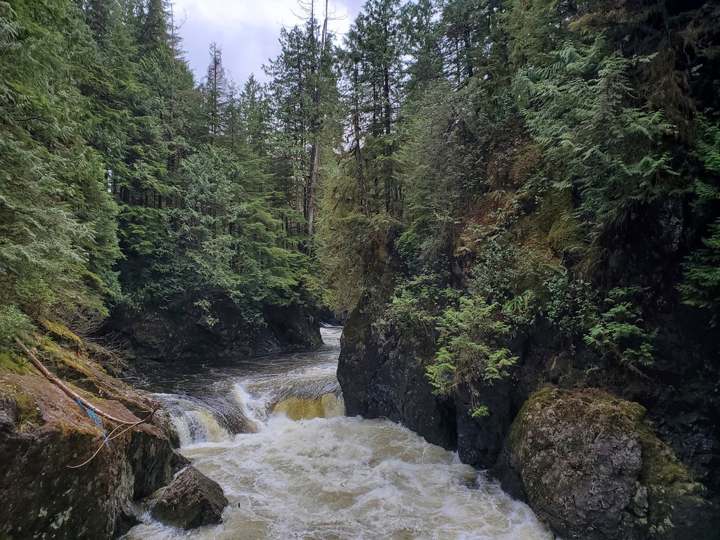
Beginning at the Mahatta River Recreation Site, there is ~7km of class I-II, including one easy canyon and probably a logjam or two. The whitewater section is only ~2km long. The start of the gradient is obvious, at the first of two class IV rapids which ramp into 90 degree corners. Following these are two rapids with ledge holes. Below here, the river canyons up noticeably for the crux rapid (class V), which is scouted on the right. This one is worth a scout, as half the river flows through a sieve. There are informal trails to portage on river right. Finally, there is one more clean ledge dropping down to tidewater and the estuary. Turn right (east), and follow the coast ~6km through the Koskimo Islands (sea otter zone), past a fish farm, and across to the takeout at the Mahatta logging landing.
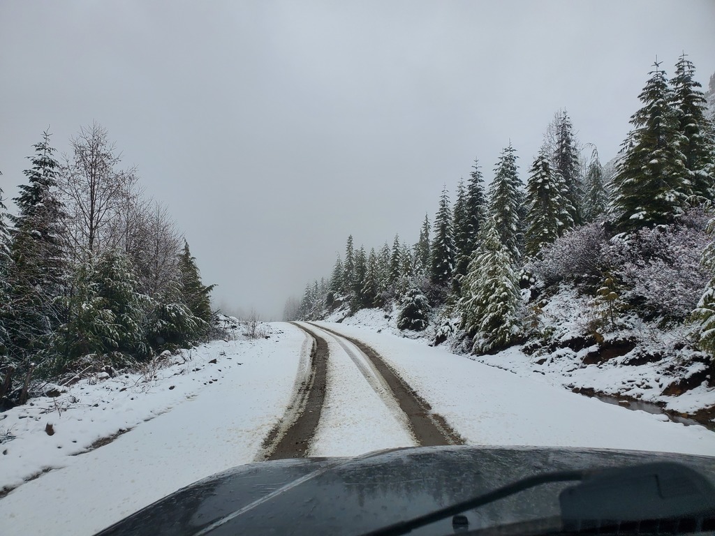
Driving over the Teeta pass in April.
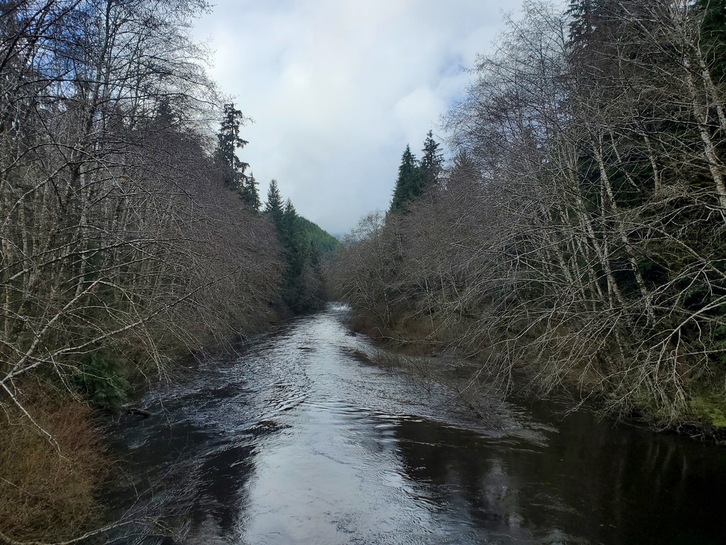
One possible put in.
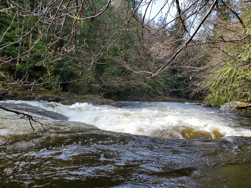
One of the early ramp rapids.
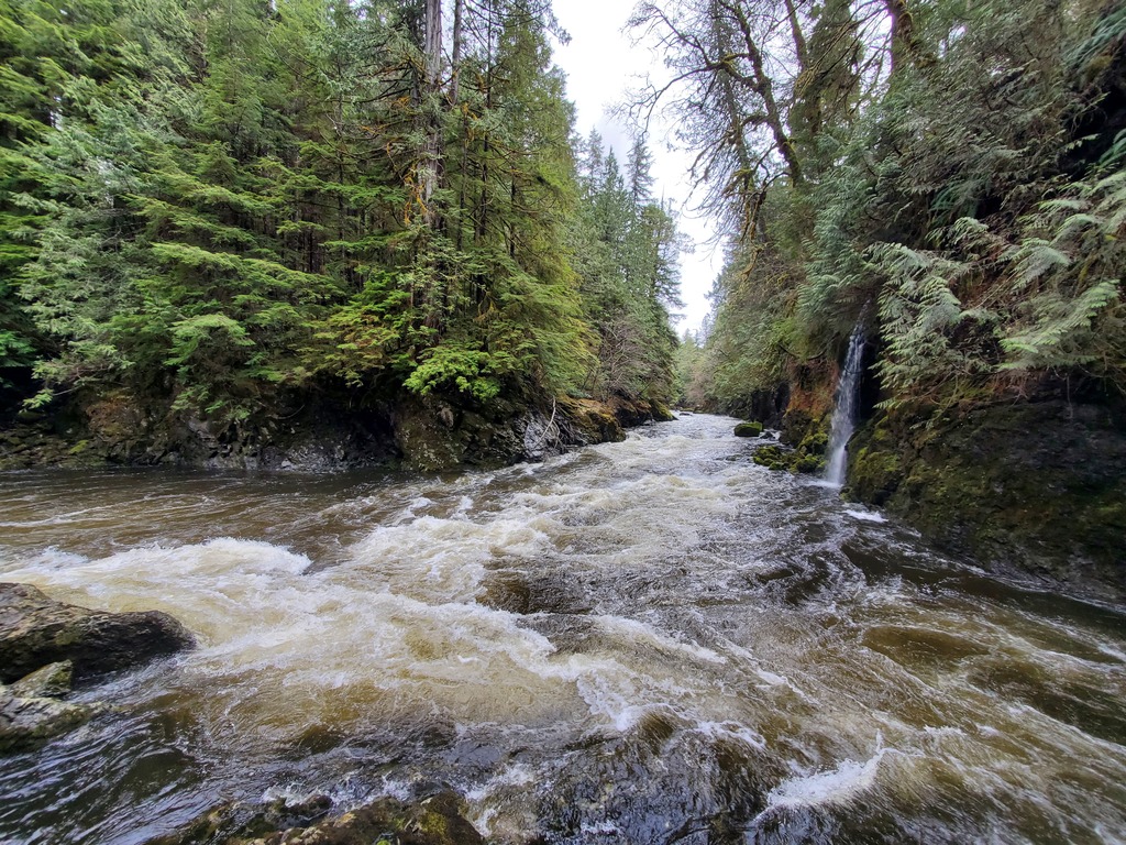
A ledge hole.
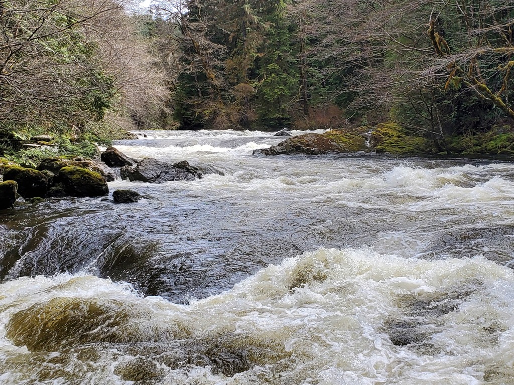
Mahatta River boogie.
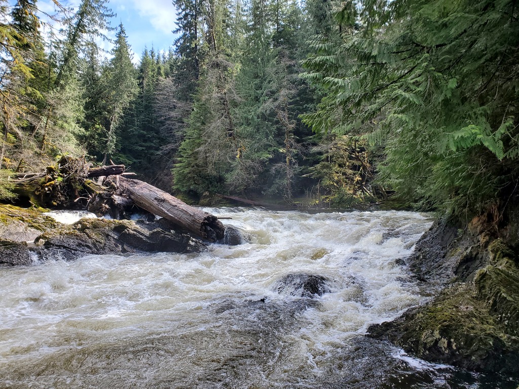
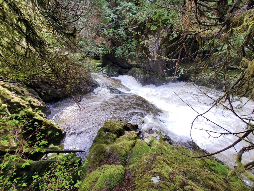
The crux rapid. The right channel comes through a sieve, the left is clear.