2-3 hours to explore the whole run. 15 minute laps on the lower half.
When to Go
October through May except for dry spells.
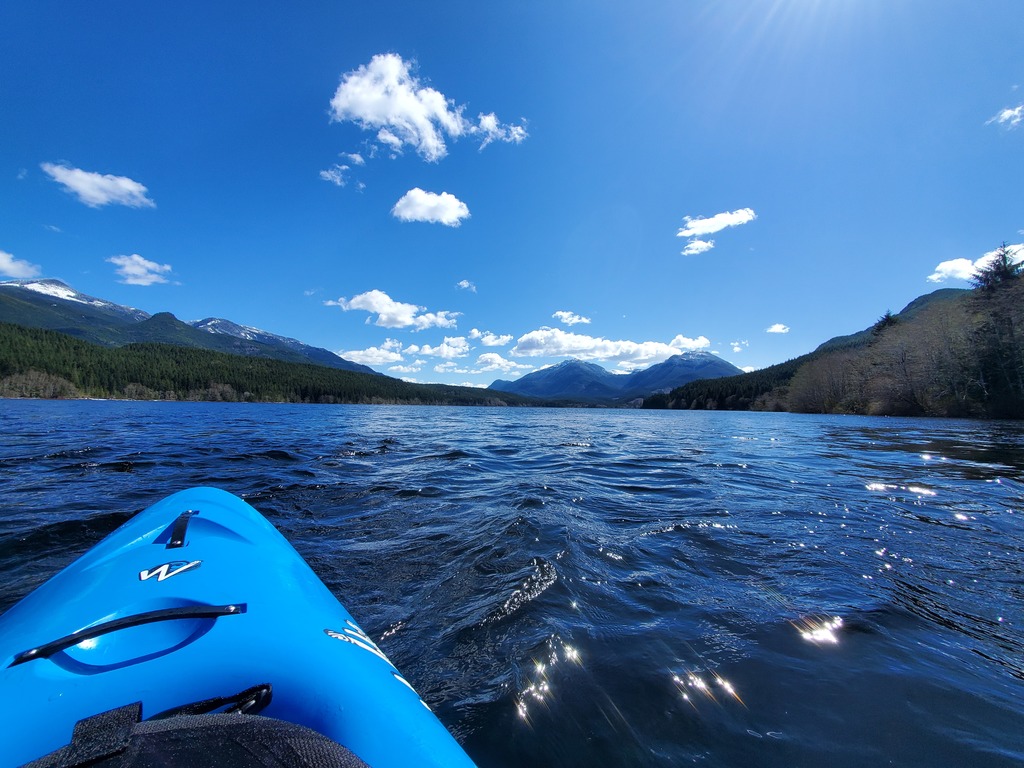
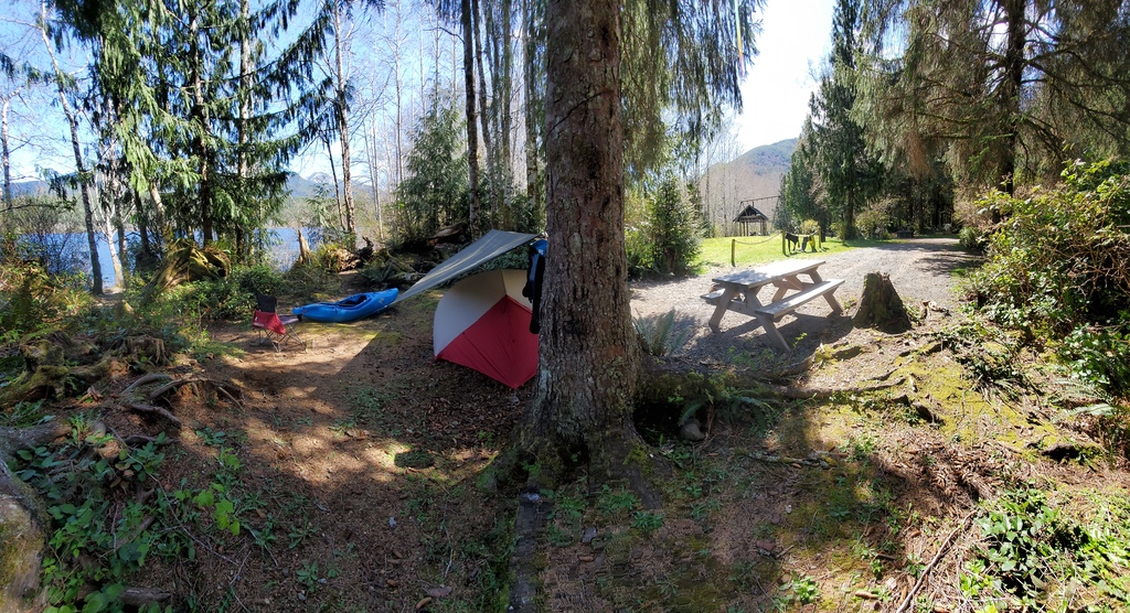
Part of the Alice Lake zone in the far reaches of northern Vancouver Island, the Link River should hold water well as it is buffered by Victoria Lake. The whole river is only 2km long, linking Victoria and Alice Lakes. After a couple optional manky class V slides, the best part of the run is a short class III canyon right down to a great campsite on Alice Lake. This campground makes a great base to explore the Alice Lake zone. Other rivers in the zone are the Marble and Benson Rivers.
Flows
The Link River (upper Marble River on some maps) flows out of the large Victoria Lake, and is likely runnable consistently from October through May with the exception of very dry spells. Level is judged visually at the Southeast Main FSR bridge or at the campsite. If it looks like enough water to kayak, the canyon below the slides will be good to go.
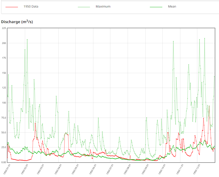
MARBLE RIVER AT OUTLET OF VICTORIA LAKE (08HE002). Limited historical gauge data from 1925-1931; 1932; 1933-1941; 1946-1953. Anything over 10cms should be boatable?
Shuttle
To get to the take out, take the north island highway past Port McNeill, turn west on Highway 30 (The Frigon Road) towards Port Alice. After passing Marble River Provincial Park, but before reaching Port Alice, turn left onto the Southeast Main and follow this ~6km to the Link River Campground.
The lower put in is reached by taking the West Main (river left) to a bridge over the tiny Jeune Creek. Either drag boats 200m down this creek to the Link River, or bushwhack 100m directly to the confluence. If you must run the slides, the upper put in is reached by taking Victoria Lake Main (river right), and turning right onto a small branch road that leads to the lake outlet.
On the water
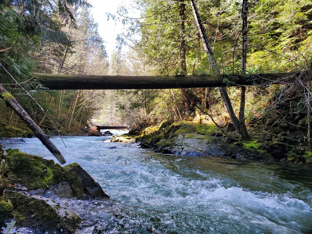
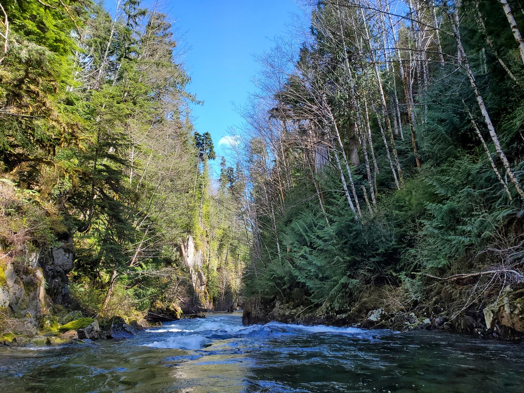
The best way to explore the river is to bushwhack directly to the confluence of Jeune Creek and the Link River from river left. This puts you at the base of the slides, and at the start of the 1km section of class III down to the campsite on Alice Lake. At the lower put in, you can explore around to scout the big slide. If you decide to run it, just use the upper put in on Victoria Lake for your second lap.
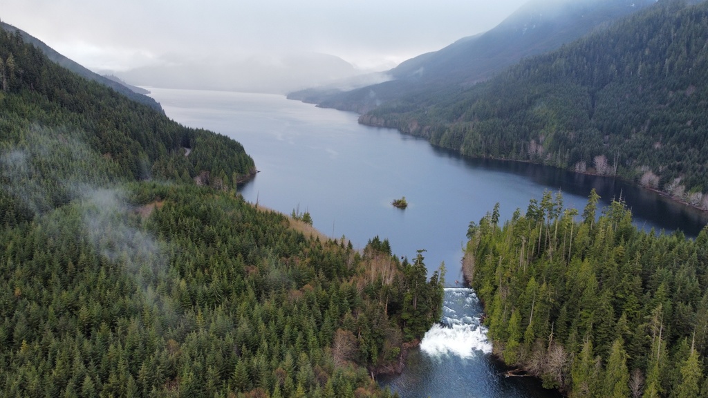
Victoria Lake and the smaller first slide.
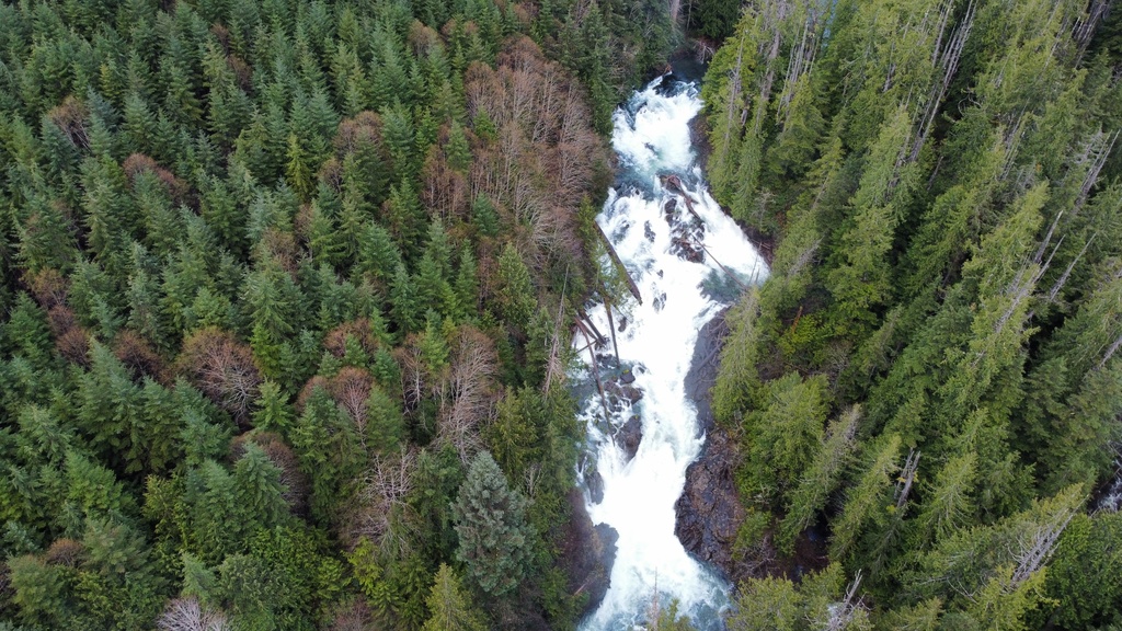
The big slide. Pretty manky but it probably goes down the left.
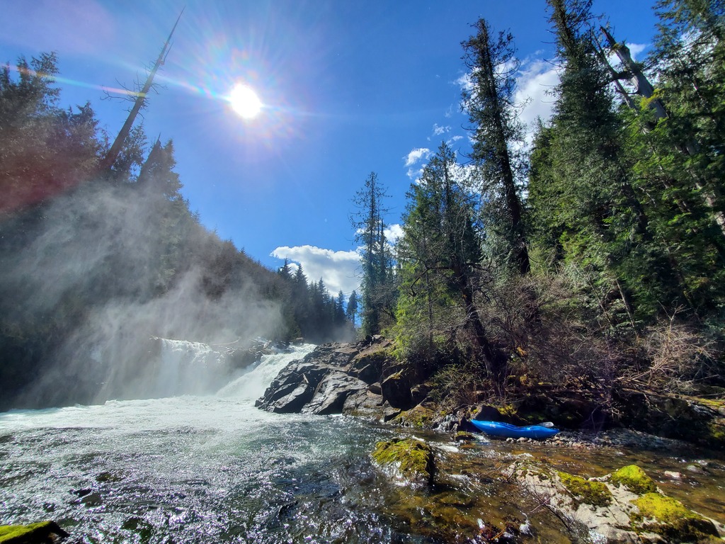
Put in river left just below the big slide at the confluence of Jeune Creek and Link River.