Remote, multi-day packraft trip through wild old growth rainforest
Class
II-III (with portages)
Scouting / Portaging
Scouting and portaging can be difficult due to the thick bush
Time
3-5 days
When to Go
Probably best in late summer / early fall
Approach:
Drive up Hwy 23 from Revy and keep going past the Mica Dam onto the logging roads beyond. We parked at 11U 402819E 5771786N on Kinbasket Lake. From here we paddled across Kinbasket Lake and up Wood Arm to the end (approx. 25 km). From the end of Wood Arm we bushwhacked up and over the unnamed approx. 2125 m pass (426128E 5780464N) to the river.
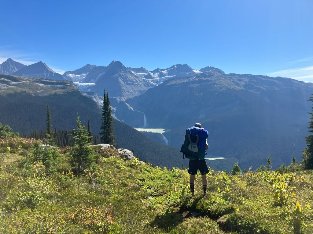
IMG_1760.jpg2.86 MB The approach gives spectacular views of the Cummins Lakes, the waterfalls and the peaks of the Clemenceau Icefield
The River:
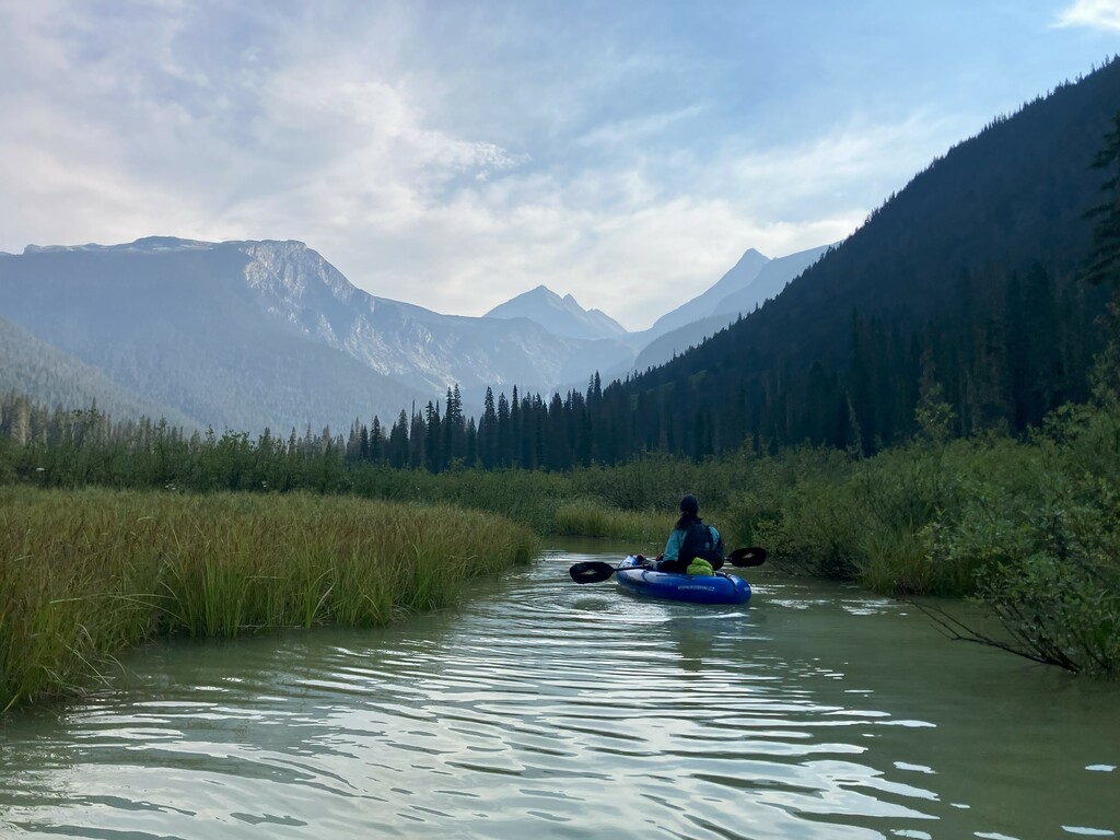
The river is mostly glacier fed from the Clemenceau Icefield. We were on the river August 15-16 2023 during a heatwave and the flows appeared high. This provided good paddling on the upper river but lower flows are probably preferred for the lower river, due to the lack of eddies at high flow and the difficultly in scouting from the bank.
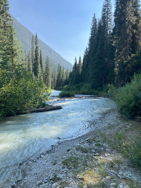
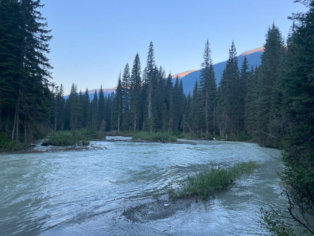
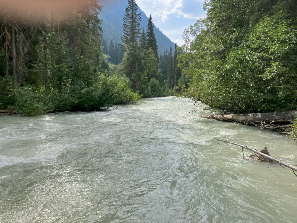
We put on around 428915E 5778253N. The first km or two of the river were braided with fast currents and lots of wood including numerous river wide logs requiring short portages. The river soon slows down, the wood situation greatly improves and the next 14 km or so are a pleasant float meandering down a wide valley with occasional wood.
IMG_1776.jpg3.59 MB View from the put-in IMG_1778.jpg2.73 MB The upper river is braided with lots of wood IMG_1787.jpg2.19 MB The majority of the run is a mellow, meandering float with great views
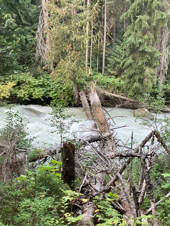
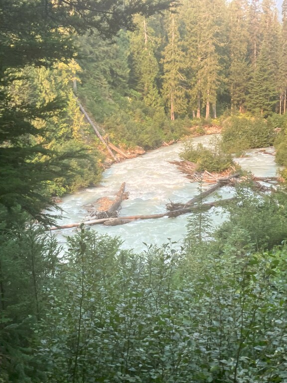
At approximately 420731E 5767680N the river straightens and the valley sides start to close. A small class 1/2 rapid marks the start of the whitewater section of the river. This was followed by approx. 0.5 km of fairly continuous class 2/3 whitewater. After this, the river slows down again momentarily and turns to the right (a large avalanche path comes in from the left at this point) before picking up again. At 420104E 5767679N there is a nasty bouldery rapid with a river wide log. I didn’t scout the next section in detail but it appeared to be fairly continuous, fast class 3. At 419870E 5767850N the river turns back to the left, the valley widens and the river becomes more mellow again. There is a series of river wide logs in a rapid at 418990E 5767893N. Shortly after the valley sides start to close again and the river begins it’s final descent down to Kinbasket Lake.
IMG_1798.jpg3.81 MB The whitewater section starts where the valley sides start to close in IMG_1803.jpg3.5 MB River-wide log in a rapid at 420104E 5767679N IMG_1808.jpg2.43 MB River wide logs in a rapid at 418990E 5767893N
At this point, due to the high water and our dwindling supply of food and gas we hiked out on river right high above the river on game trails to join logging roads near the park boundary, and hiked down roads to the lake, so we have no information on the lower 2.5 km of the river. A 1991 survey (https://a100.gov.bc.ca/pub/acat/documents/r805/20214_1074551693621_40de1e44b2c9403b9312856c0ebad29a.pdf) describes it as “…steep (gradient = 3.7%) and entrenched, with boulder rapids making up most of the habitat. A 4 m high falls is situated about 20 m above the reservoir full service level..”. From the end of the river it’s an approximately 15 km paddle on Kinbasket Lake back to the car.
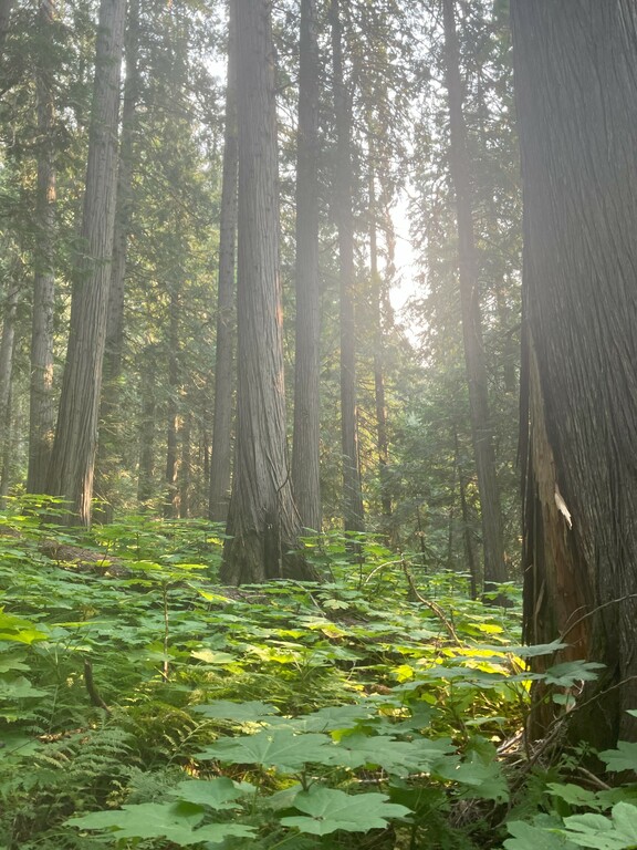
This a wild and remote river in a pristine old growth rainforest, with lots of wildlife. The bush is thick and scouting and portaging on the banks can be time consuming and difficult. It is probable that this trip gets a lot easier and less continuous than described at lower water levels. All the beta herein is based on one trip down the river so should be treated cautiously.