Have you ever wondered if there is anything beyond the Upper Cheak parking lot? Didn't think so. But if you have a free afternoon, it's worth checking out the easy trail to beautiful Cheakamus Lake. If you bring your kayak, you can paddle some OK wood-filled whitewater back down to the classic Upper Cheak.
It's best to combine this run with the Upper Cheakamus and take out at House Rock parking near Function Junction (see Upper Cheakamus for directions). Alternatively, it is possible to take out just before the Upper Cheak, but the river flows swiftly towards the waterfall at a must make eddy.
To get to the put in, go back to the Cheakamus Lake FSR and follow it up river right (east side) for ~8km to a parking lot at the end of the road, the trailhead for Cheakamus Lake. The hike to the lake is a pretty cruisy 3km on a well graded trail through shaded old growth forest. After an initial uphill, it's actually mostly downhill too. About halfway through the hike, the Helm Creek Trail on the right leads to an alternate put in at a footbridge. But it's worth continuing to the lake for the views.
The flow range for this section will be similar to the Upper Cheak (minimum 2.1, medium 2.5, and high up to 3.0). However, medium to high flows are not recommended due to the amount of wood. A level of 2.35 was a little bumpy but not brutal, with just enough time to stop in marginal eddies above wood. While the difficulty of the whitewater is III+, the river is more suited for class IV boaters due to the amount of wood and tricky take out.
From the lake, the river starts glassy and calm. The crystal clear water here is really one of the best parts of the run. Very soon the river splits around an island, and both channels can be blocked with wood. A portage across the island is flat and through open forest until the river is clear again. Scenic class II leads to the Helm Creek Trail footbridge. Just below here Helm Creek confluences from the left, and it brings a huge amount of volcanic debris from the Black Tusk massif, which changes the character of the riverbed to continuous class III+ braids. Unfortunately, wood lurks on every island and bend, and often you will be scanning logjams to see if the channel is clear. Eventually the river does channelize somewhat, and after you see a road and powerline along river left, some of the best rapids quickly lead to the put in for the Upper Cheakamus and the waterfall (class V). Here it is key to catch an eddy on river left behind two large boulders, at the spot where people normally put in if they are going to run the "lead in" of the Upper Cheak falls. Or if you're up for it, run the falls (V) and carry on down the Upper Cheak (IV).
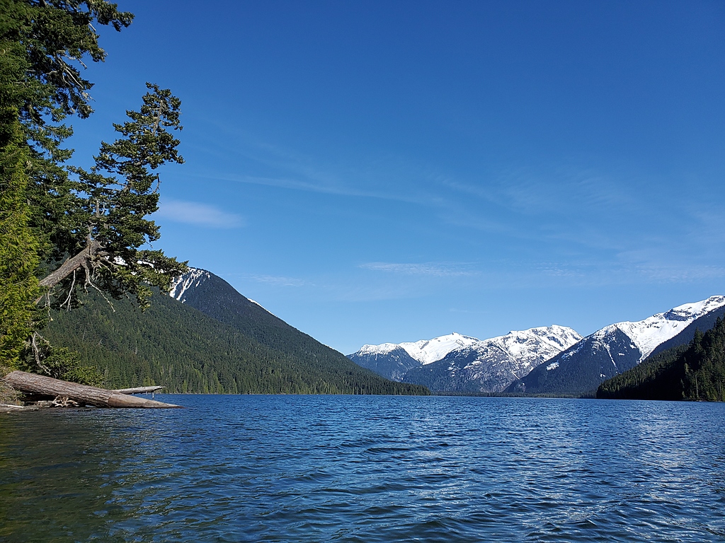
Cheakamus Lake in Garibaldi Provincial Park.
Putting on at the lake outlet.
Portaging down the left channel sucks, try the right channel or the island.
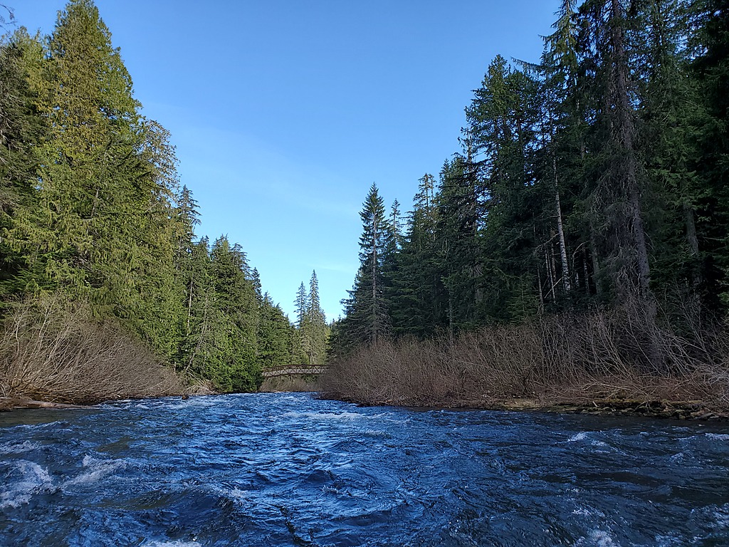
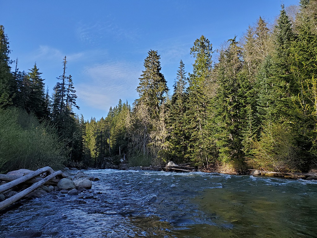
Helm Creek Trail footbridge. The gradient picks up below here.
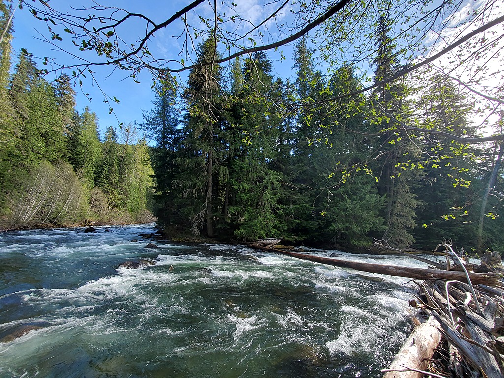
A typical log jam. In spring 2021 this was one of two wood portages.
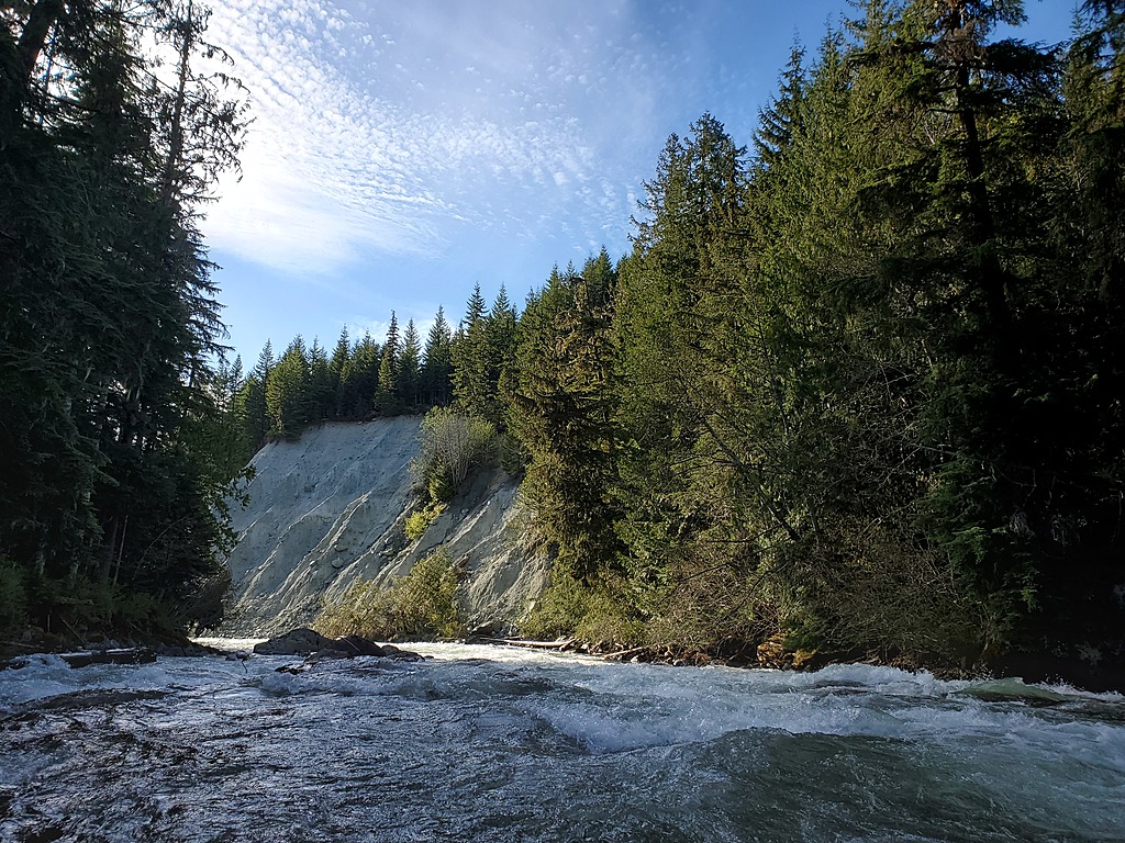
Typical boogie.
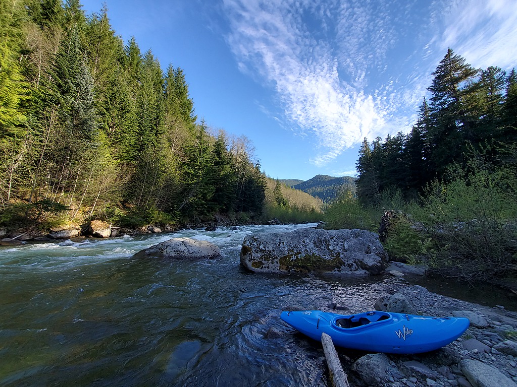
Looking upstream from the take out eddy, to scout or portage the falls at the start of the Upper Cheak.
Looking downstream from the take out eddy, towards the falls at the start of the Upper Cheak.